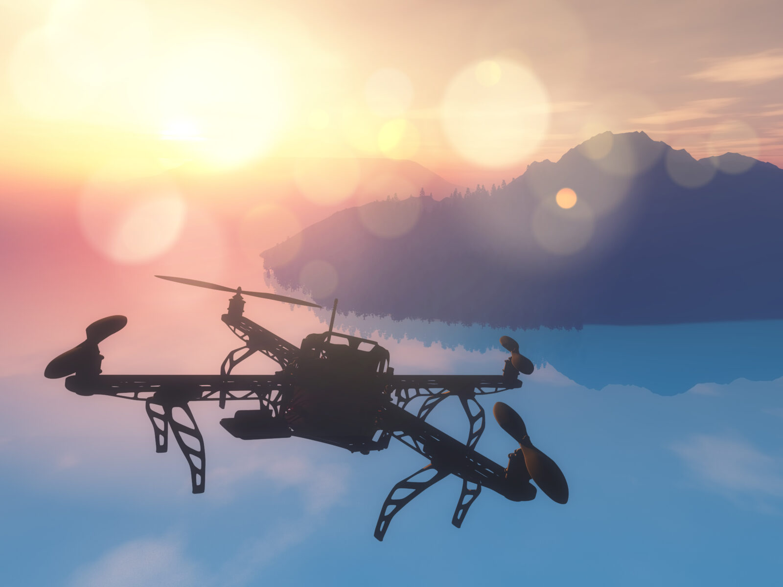
The use of Unmanned Aerial Vehicles is rapidly growing nowadays.
These devices are used by various industries, like the mining industry, oil and gas industry, and agriculture, to name a few.
For instance, a UAV bathymetry survey was carried out in the Cayman Islands in the 1st week of December 2025. This survey helped the maritime defence company in question assess the viability of critical marine activity in the region.
But what are these devices, and which industries rely on them? Let’s explore below.
Which Sensors Do Batherymetric Uavs Rely on?
UAV bathymetric sensors utilise three main sensors, namely, LiDAR, GPR, and echosounders, to map the depth of waterbodies or water sources. Let’s take a look at these sensors to understand how they work before we dive into the applications.
|
Sensor |
What It Is |
| LiDAR | Stands for Light Detection and Ranging These sensors send out laser pulses and map the time it takes for the pulses to reflect from the target object They also create a 3D shape and size through a point cloud by mapping the time delay and distance |
| Echosounders | Are located on ship hulls
Emit sound waves to the target and map the distance and topography through the time delay and the manner of the waves’ reflection |
| GPR | Emit electromagnetic pulses and map the manner and time in which they penetrate and are reflected from the target |
Table 1: Role of UAV Bathymetric Sensors
Now that you know about the sensors, let us now dive into the applications of UAV bathymetry in various industries below.
Which Industries Rely on UAV Bathymetric Surveys?
Industries like construction, agriculture, hydropower (dams and reservoirs), mining, oil and gas industry rely on UAV bathymetric sensors by reputed brands like SPH Engineering.
These industries rely on UAV surveys in the following manner:
1. Hydropower (Dams and Reservoirs)
Dams and reservoirs form an important part of the hydropower industry since they help generate power. So, any structural weaknesses in the dam due to sedimentation or erosion can lead to flooding and potential loss of life.
Carrying out a UAV bathymetry survey prevents this, since sensors like LiDAR, GPR, and Echosounders detect the sedimentation or erosion.
These sensors play the following role in the hydropower industry:
|
Sensor |
Role in Detecting Dam/Reservoir Erosion |
| LiDAR | Map the initial and subsequent capacities of the dam before and after construction by analyzing the volume and surface area |
| Echosounders | Map the following in reservoirs: i) actual water depth, the lakebed depth before the reservoir construction; this data is used to calculate sediment thickness ii) actual volume of the reservoir from the initial volume; this data is used to calculate sediment volume The sediment thickness and volume data are used to further estimate the impact on the dam. |
| GPR | Map structural deformities and cracks in the dam; this data is used to carry out necessary repairs and other measures |
Table 2: Role of Bathymetric Sensors in Mapping Dam and Reservoir Erosio
2. Construction
Construction projects require a stable geographic area to prevent the buildings from breaking or cracking. Such an area can be affected by the presence of riverbeds and factors like erosion, since:
- i) Riverbeds can cause flooding or water to seep into the buildings
- ii) Soil erosion can lead to structural weakness in the buildings
That’s why UAV bathymetry survey companies carry out detailed surveys to map the depth of the riverbeds and track soil erosion. The construction companies utilise the data to scoop out the sand from the riverbeds and determine the correct site for building.
3. Agriculture
Agriculture is an industry that depends on the regular supply of water (along with sunlight) for the healthy yield of crops. However, too much water can also ruin the crop quality and cause flooding.
This is why farmers hire companies that utilise UAVs by reputed brands like SPH Engineering. These companies utilise UAVs to map the topography of the land and determine features like waterbeds and soil sediments.
Farmers utilise this data to determine the best areas for planting crops and get the maximum yield.
4. Mining
The mining industry relies on water reservoirs to serve as sites for cooling equipment and machinery, and to prevent fires. A UAV bathymetry survey can detect the presence, shape, depth, and surface area of these reservoirs.
These bathymetric surveys can also determine the groundwater levels, which is useful for open-pit mining for effective water management. Another role that bathymetric surveys play is post-mining surveys, which detect pit lakes.
Pit lakes can be utilised as valuable resources for heat pumps, industrial water supply, and fisheries cannot be undermined.
5. Oil and Gas
The oil and gas industry relies on UAV bathymetry surveys to determine the site and seabed stability and plan the pipeline and cable routes. The bathymetric sensors map the site and seafloor stability through echosounders.
These echosounders have an array of transducers, which send out multiple sound waves that cover a wide area of the seabed. They create a topographic map of the seabed, revealing fault lines and water depth in certain areas.
Oil and gas industry professionals use this data to lay out the pipeline and cables accurately.
Wrapping Up
Multiple industries use UAV bathymetric surveys to ensure smooth operations and avoid undue damage. These include environmental conservation, surveying, and real estate, to name a few, along with mining, agriculture, and others.
So, if you work in any of these industries, then you can explore how bathymetric surveys can help you. Also, do remember to check for companies that utilise UAV bathymetric sensors from top organisations like SPH Engineering.
Ready to Carry Out a Bathymetric Survey?
Hire a reputed UAV bathymetric survey company near you in the UK to carry out a bathymetric survey today.